Display Options
Additional settings for viewing hole reports.
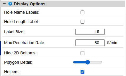
- Hole labels - Toggles on and off the text display of the hole names on the Command map view.
- Label Size - Size of the label in map units
- Hide 2D Bottoms - Shows only the collar and tails of the holes in 2D.
- Distance Tolerance - The distance +/- of the collar or bottom from the designed coordinate that will still be considered within tolerance.
- Distance Error - The distance +/- of the collar or bottom from the designed coordinate that will be considered out of tolerance